

Decades of Mystery Near Mount Ararat Could Soon Be Unraveled
“Seeing Beneath the Earth”: Cutting-Edge Tech Fuels the Hunt
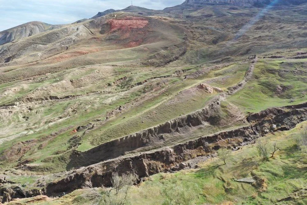
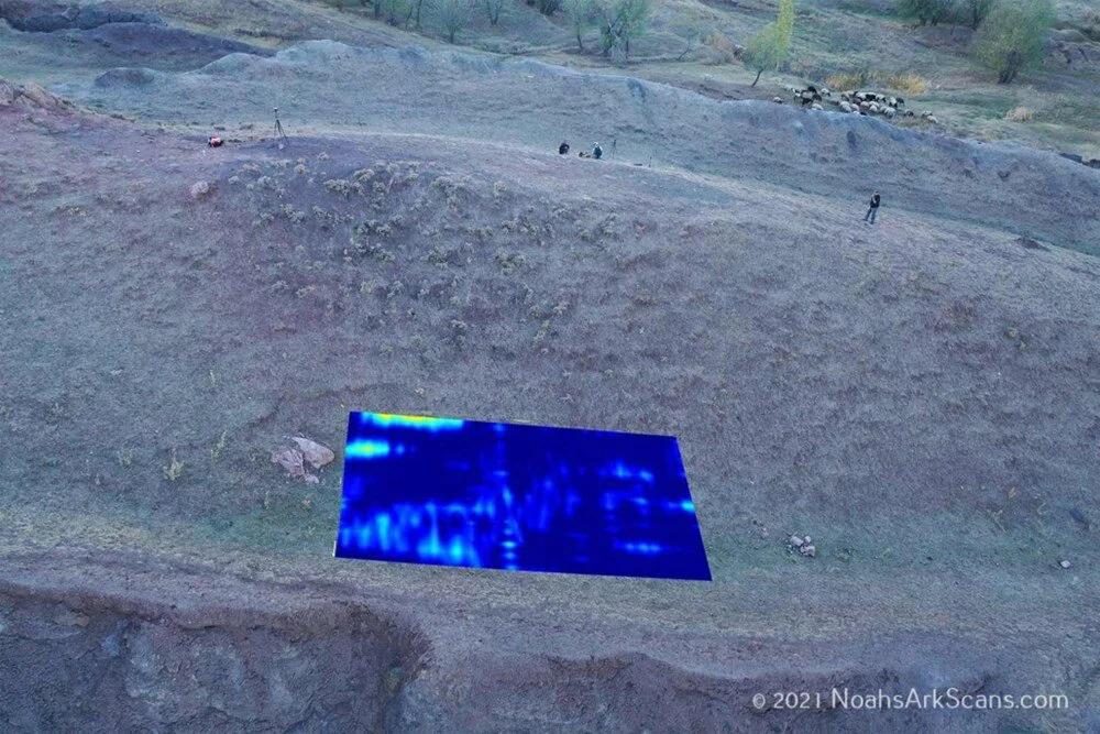
After years of tantalizing speculation, researchers are finally preparing to excavate the Durupinar Formation—a 160-meter, boat-shaped structure in eastern Turkey believed by many to hold remnants of Noah’s Ark! Using advanced ground-penetrating radar, teams from Noah’s Ark Scans have mapped mysterious rectangular shapes deep within the iron-rich limonite site. Soil sampling will now begin in earnest to hunt for organic traces like ancient wood, marine sediments, and even shellfish fossils. The world watches as science inches closer to answering a timeless question: Could this be the Ark’s final resting place?
Collaborative Research and Preservation Priorities
Andrew Jones, a researcher involved in the project, emphasized the challenges of working in the region’s harsh climate. “Protecting the site’s integrity is our top priority,” he told The Sun. Over the next few years, Turkish university partners will analyze soil samples and radar data to determine whether the formation is human-made or natural. Only after conclusive evidence is gathered and a preservation strategy is finalized will full-scale excavations commence.
Durupinar’s Jaw-Dropping Clues Align with Ancient Texts
The site’s uncanny resemblance to Biblical descriptions has long electrified explorers. First spotted in 1948 after earthquakes and floods stripped away mud, Durupinar’s boat-like silhouette mirrors Genesis’ account of the Ark. Recent radar scans revealed compartment-like structures beneath the surface—exactly what you’d expect from a massive, multi-level vessel. Even more thrilling? Soil tests dated materials to 3,500–5,000 years old, aligning perfectly with the Great Flood timeline!
Historical and Geological Significance
Recent studies of 22 soil samples from Durupinar revealed traces of clay-like materials, marine sediments, and even remnants of shellfish—suggesting the area was once submerged. Radiometric dating placed these samples between 3,500 and 5,000 years old, aligning with the timeline of the Great Flood described in Genesis. Radar scans further identified rectangular patterns beneath the surface, potentially indicative of compartmentalized structures akin to a ship’s interior.
Alignment with Biblical Narratives
While skepticism persists, proponents argue the findings bolster the site’s connection to the Biblical narrative. Noah’s Ark, central to Abrahamic traditions, is said to have sheltered humanity and wildlife during a catastrophic deluge. The Durupinar Formation’s unique characteristics and marine evidence continue to fuel debates about its role in ancient history.