

In the fertile yet water hungry Ararat Plain of Armenia, the ancient kingdom of Urartu engineered a sophisticated irrigation network that transformed barren land into thriving fields, gardens, and vineyards. A new study centered on the Urartian fortress of Argishtikhinili has used advanced remote sensing technology to uncover more than one thousand kilometers of ancient water features, including over one hundred thirty-four kilometers ancient canals. These discoveries illuminate how Urartian rulers, particularly King Argishti the First, mastered water management in the eighth century BC and laid the foundations for intensive agriculture that endured for centuries.
The Historical Setting of Argishtikhinili
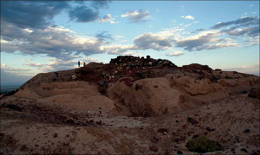
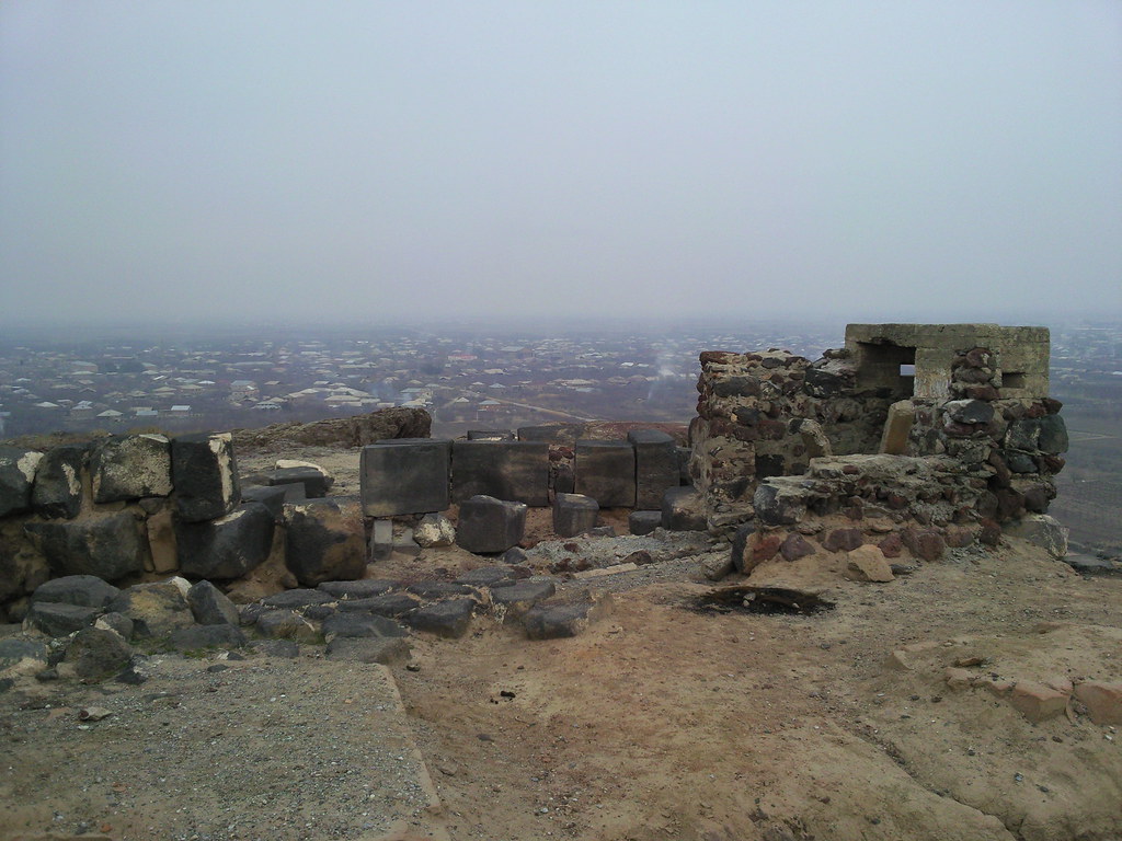
Argishtikhinili, located in the Araks Valley near modern Armavir, ranks among the largest and most important archaeological complexes in Armenia. Founded by King Argishti the First around 786 to 764 BC, the fortress stretched across roughly three and a half kilometers and featured two citadels, one serving political authority and the other religious purposes. Contemporary inscriptions proudly record the construction of five irrigation channels that delivered water to the urban core and surrounding agricultural lands. Prior to this intervention, the area reportedly lay fallow because of water scarcity, with no evidence of earlier permanent settlement.
The Urartian system appears to have operated successfully until the kingdom’s decline around 590 BC, after which Hellenistic, medieval, and modern communities continued to adapt and expand elements of the same network.
Advanced Remote Sensing Unlocks Hidden Landscapes
Researchers employed a powerful combination of satellite imagery and terrain modeling to map subtle traces of ancient water infrastructure that are nearly invisible from the ground. The team analyzed declassified high resolution spy satellite photographs from the 1960s and 1970s (GAMBIT and CORONA missions), multi temporal Landsat and Sentinel radar data, as well as detailed digital elevation models.
Sophisticated processing techniques, including seasonal vegetation indices, tasselled cap transformations, and multi scale relief modeling, enhanced faint soil marks, vegetation patterns, and micro topographic features such as levees and paleochannels. This approach allowed the archaeologists to distinguish ancient elements from modern canals and natural riverbeds while revealing features erased or obscured by contemporary agriculture.
Major Discoveries in the Ararat Plain
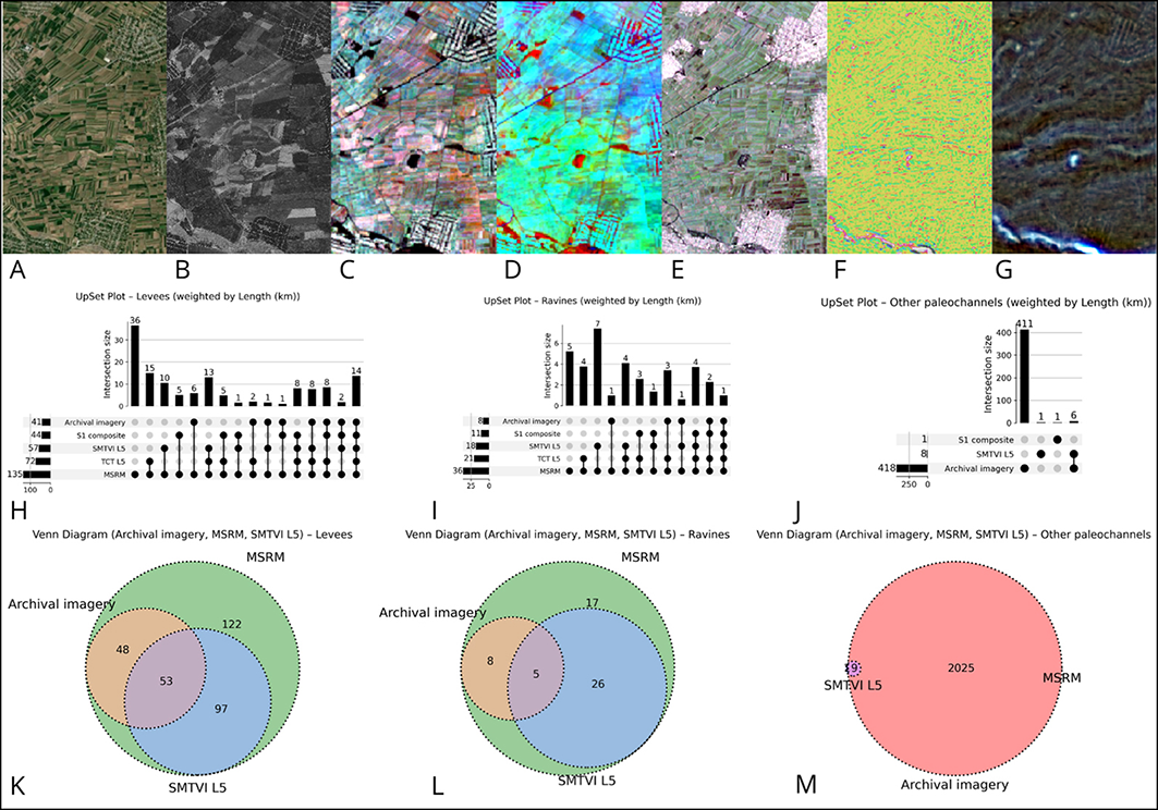
The comprehensive survey identified 1019 kilometers of water management features around Argishtikhinili. Of these, modern canals accounted for roughly 429 kilometers, former stream beds for about 420 kilometers, incised paleochannels for 36 kilometers, and 134.6 kilometers emerged as strong candidates for ancient Urartian or early historic canals. Many of the potential ancient canals cluster near the fortress itself and display straight or gently curving alignments that suggest deliberate engineering.
Some levees appear to connect with dry stream beds or larger water sources, possibly drawing from the Araks River. The study also noted distinctive meander shaped features east of the site that may represent natural crevasse splays later modified for irrigation. These results confirm that the plain supported a complex, multi generational hydraulic landscape shaped by both human ingenuity and natural processes such as river migration and tectonic activity.
Implications for Urartian Engineering and Agriculture
The mapped canals demonstrate that Urartu invested heavily in large scale water infrastructure to support intensive farming in a region where rainfall alone was insufficient. By channeling water across the landscape, the kingdom enabled the cultivation of cereals, orchards, and vineyards on a significant scale.
The persistence of these systems into Hellenistic and later periods underscores their effectiveness and adaptability. Furthermore, the research highlights striking similarities with irrigation patterns observed in neighboring parts of the Ararat Plain, suggesting broader regional networks rather than isolated projects. Overall, the findings position Argishtikhinili as a key example of how Urartian rulers used engineering to assert control over both territory and agricultural production.
Conclusion
This remote sensing investigation has dramatically expanded our understanding of water management in the ancient Ararat Plain, revealing an impressive network of canals that once sustained one of Urartu’s most important fortresses. The discovery of 134.6 kilometers of potential ancient canals confirms the critical role of irrigation under King Argishti the First and illustrates the long term impact of these works on the region’s agricultural history.
While many questions remain about the precise dating and evolution of individual channels, the study provides a compelling foundation for future fieldwork and underscores the power of modern geospatial tools to recover lost chapters of human ingenuity. As archaeologists continue to refine these maps and conduct targeted excavations, the full story of Urartu’s hydraulic achievements will come into even sharper focus.
For more ancient engineering read; Massive Mesolithic Sea Engineering: Submerged off France